 process.")


-
As a Quality Manager at R-O, high-quality drone photos and videos delivered weekly are critical to communicating progress to management and ownership. DroneLogix consistently delivers, exceeds our jobsite safety requirements, saves time and expense, and we always know the status of deliverables. We strongly recommend DroneLogix for your project!

-
"I received many bids for our project which covered an entire state, and we are glad we chose DroneLogix, LLC as our partner for the project. It would be hard for me to want to ever work with anyone else. Communication A+, Quality A+, Quantity A+."
-
“We’ve created a much more efficient process. We can literally take weeks out of the schedule, our projects are much higher quality than before, and they’re safer.”

-
“Obtaining a point cloud of the entire site in a few hours using a drone is a huge benefit to the schedule and the budget.”
-
“A drone will expand agency capabilities to search for missing persons and reduces threats associated with obtaining observations in difficult or specific circumstances.”

-
We saw what was a 2–3 week and several tens of thousands of dollars process become a 1-4 day process... When you’re looking at dramatic 75% or greater cost and time improvement, it’s really powerful.
-
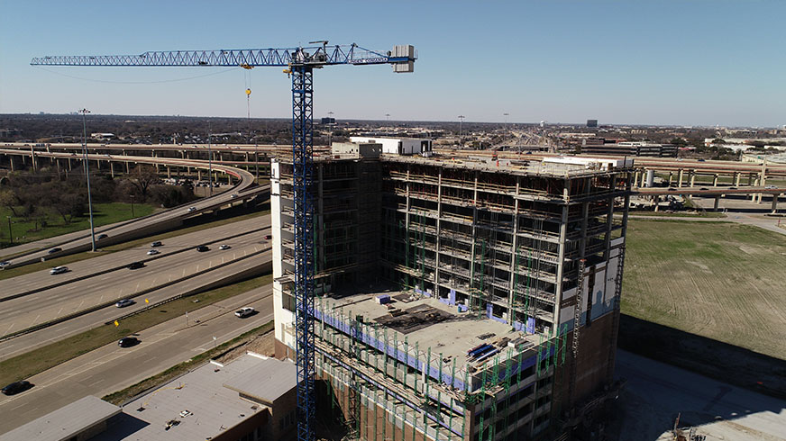
"Builders use drones to collect real-time data about projects and understand what’s happening on site. Aerial insights improve progress tracking and help catch problems early - before they become costly or add weeks to a project’s timeline. [With drone mapping] contractors gain access to an unprecedented amount of knowledge about nearly every aspect of their project"

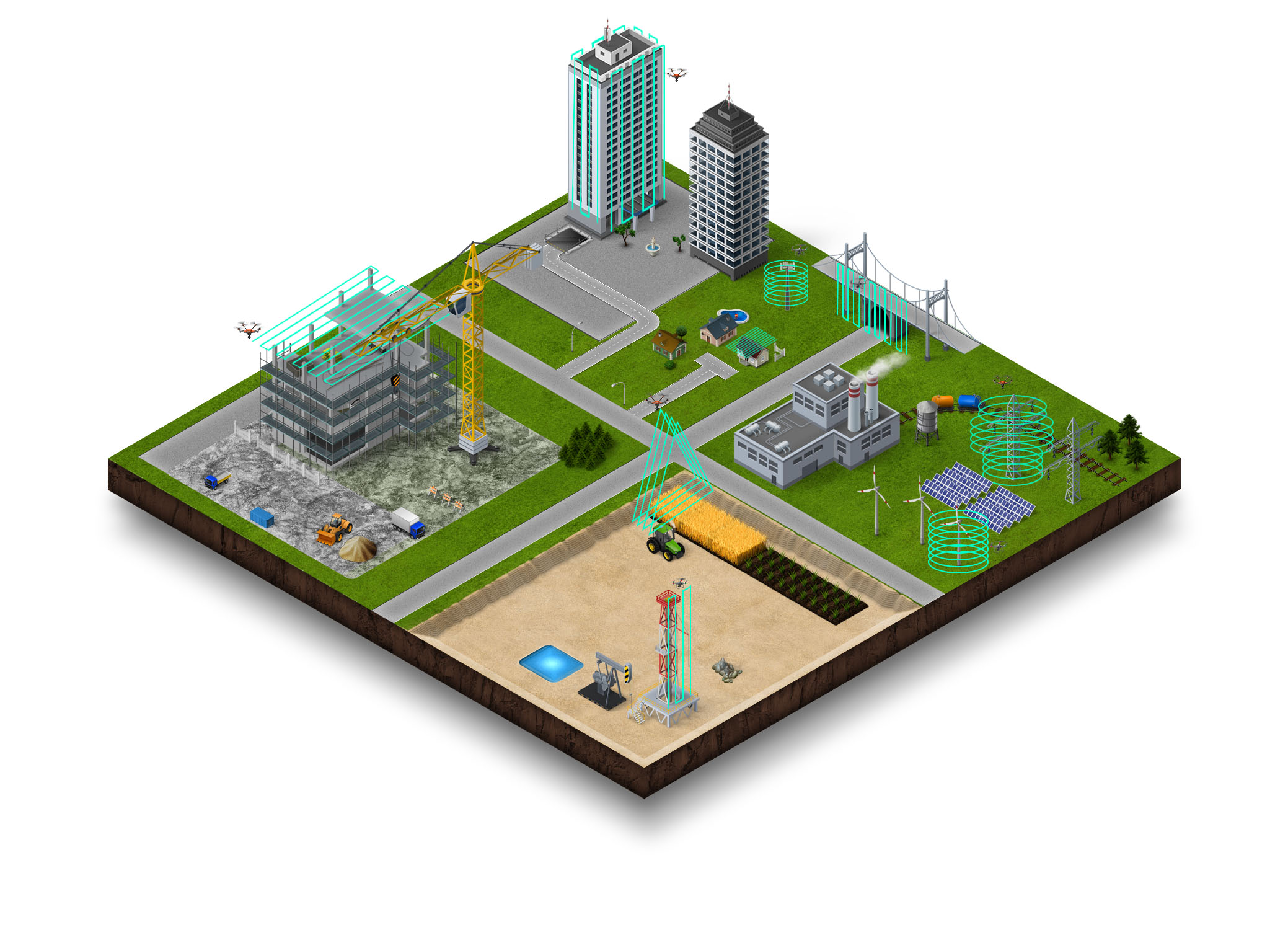
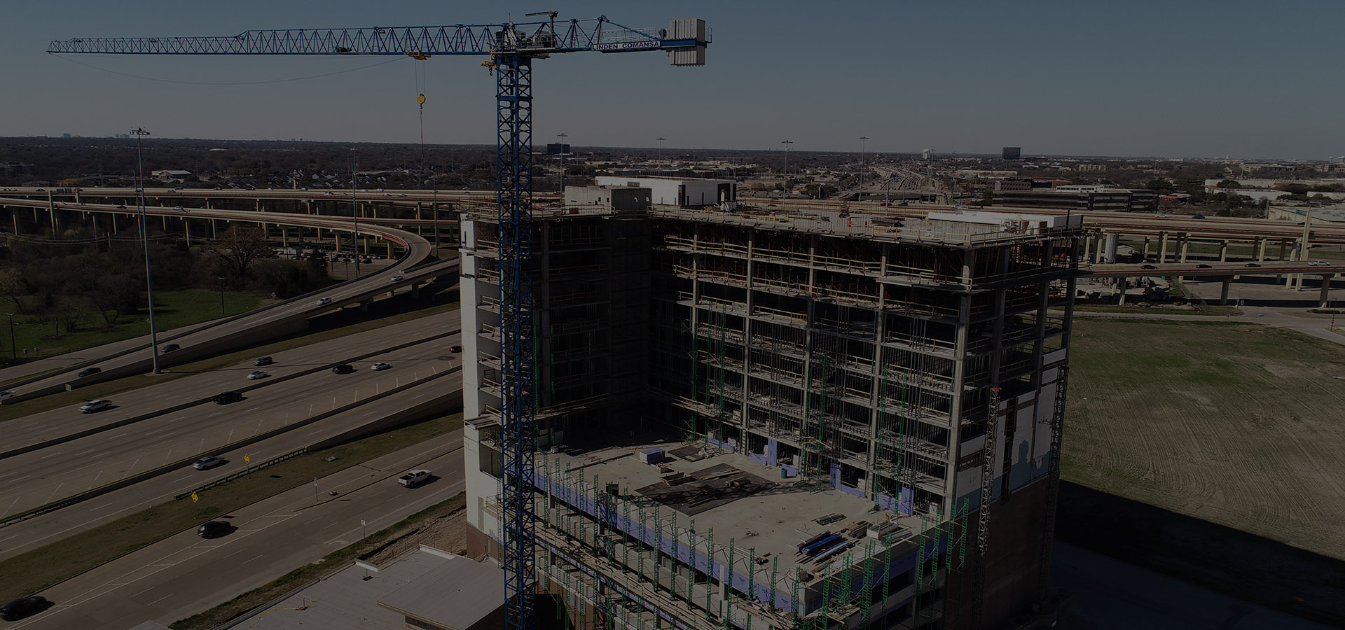
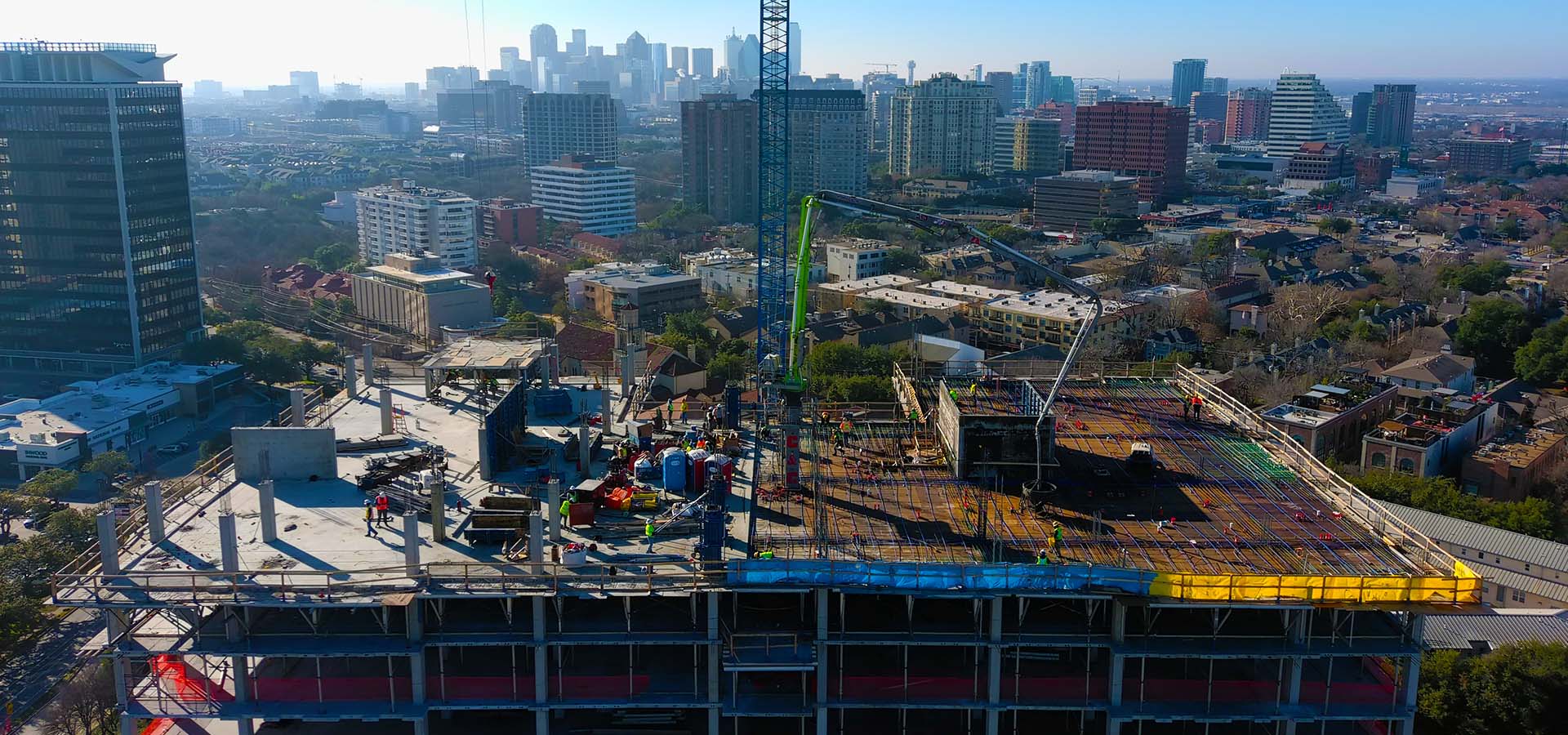
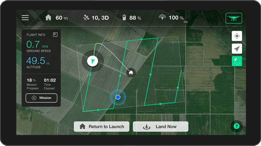
Use DroneLogix to track progress at work sites, measure areas and resources, perform inspections and safety assessments, document insurance claims, provide aerial marketing footage of properties, improve quality, reduce survey costs, and more. Clients simply schedule their service request and DroneLogix dispatches an FAA-licensed and insured pilot with all the skills and hardware necessary to get the job done.

Current Forecasted Surface Level Winds + Temperature Color Overlay
(this opens with the DroneLogix service area in view)
Use your mouse to pan and change the map view location...click on "earth" to adjust display parameters
NOTE: This is a visualization of forecast data that is updated hourly using near-term forecasts. Courtesy of https://earth.nullschool.net
View Sectional Charts for Areas We Serve:
(click to open in new window)
BOOK PROFESSIONAL DRONE SERVICES Fast & Low Cost
It's easy to place an order. Call us, tell us the location, request specific image or video perspectives, and share your preferred schedule. If desired, we can fly using Drone Deploy, including using existing defined mapping missions. All at an affordable package price!
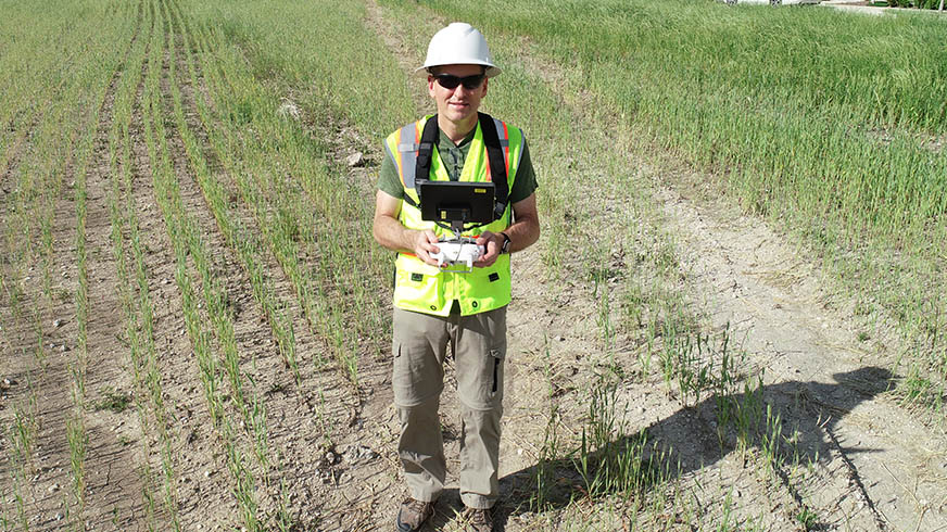
WE DO THE FLYING FAA Licensed, Insured and OSHA Trained
Our qualified, insured, safety-trained and licensed pilots will provide all of the equipment, fly the mission, process, and upload all of the requested video and photos on the same day of capture to your secure project folder for 24x7 access.
Easily View, Download & Share Analyze & Export
You can easily view, download, and share your imagery in a variety of formats - video, images, point clouds, contour maps, digital surface, and digital elevation models. Export to any software, and we support BIM integrations as well.


WE WILL REDUCE YOUR COSTS OF DRONE SERVICES AND DIGITAL PROCESSING AND DELIVER THE QUALITY CONTENT AND ANALYTICS YOU DESIRE ON YOUR SCHEDULE!
Serving clients in Dallas, Ft. Worth, Houston, Austin and San Antonio, Texas and surrounding regions.
Headquarters:
DroneLogix, LLC
1811 Meadowcove Dr
Richardson, TX 75081
Phone: 1-833-DRONES1
(1-833-376-6371)
or 214-728-9780
Email: info@dronelogix.com