Construction Management
Let us introduce you to the transformative power of drones for Construction management and planning.
Affordable Drone Services & Digital Processing
Quality content and analytics on YOUR schedule.
Toll Free: 1-833-DRONES1 (833-376-6371)
or
214-728-9780
View Progress Reporting ExamplesDescription of Services:
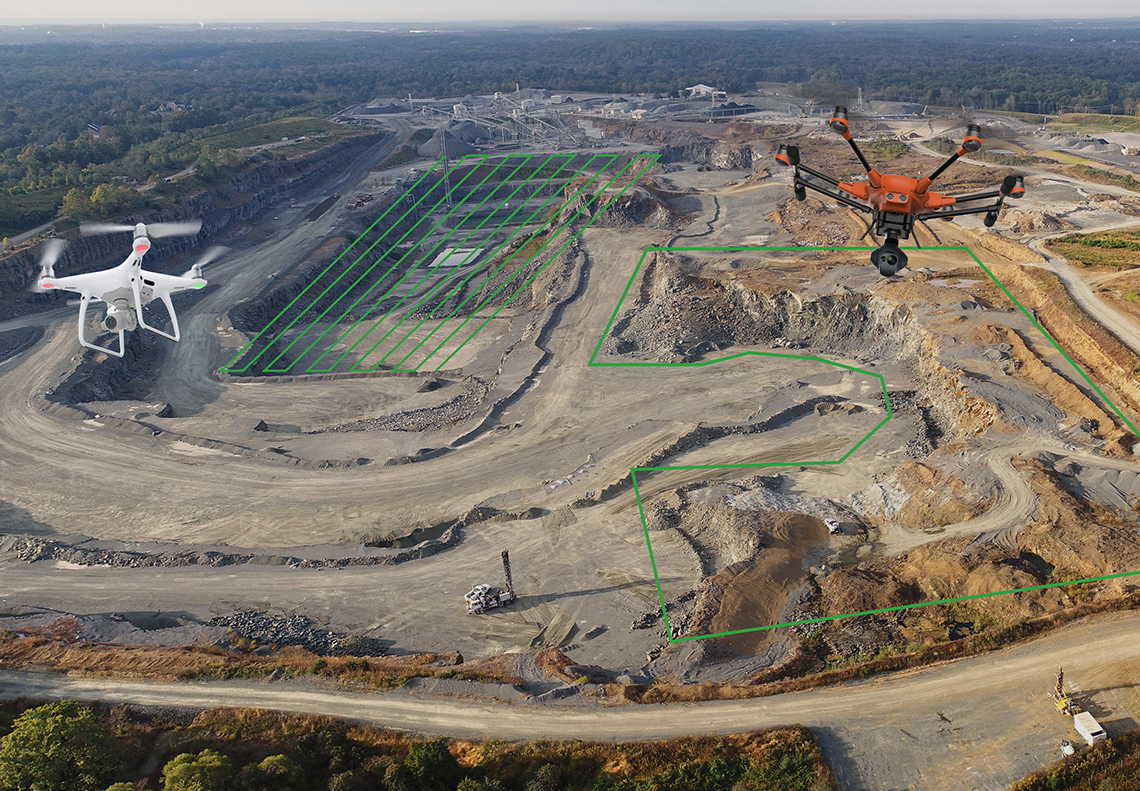
DroneLogix aerial services produce cost-effective, comprehensive, and actionable data that supports planning, monitoring, compliance, and safety in the Architecture, Engineering, and Construction industries. We provide decision makers with the ability to easily assess construction sites, provide volumetric data, track and document progress, inspect structures, and monitor safety and loss prevention initiatives.
By defining areas of interest, DroneLogix includes the image and video content for those targeted areas, in addition to the overall project images and analytics, in the weekly deliverables. We can also support BIM integration and integration with many third-party apps, such as Procore and Revit.

Related Services
Serving clients in Dallas, Ft. Worth, Houston, Austin and San Antonio, Texas and surrounding regions.
Headquarters:
DroneLogix, LLC
1811 Meadowcove Dr
Richardson, TX 75081
Phone: 1-833-DRONES1
(1-833-376-6371)
or 214-728-9780
Email: info@dronelogix.com