Site Planning
Description of Services:
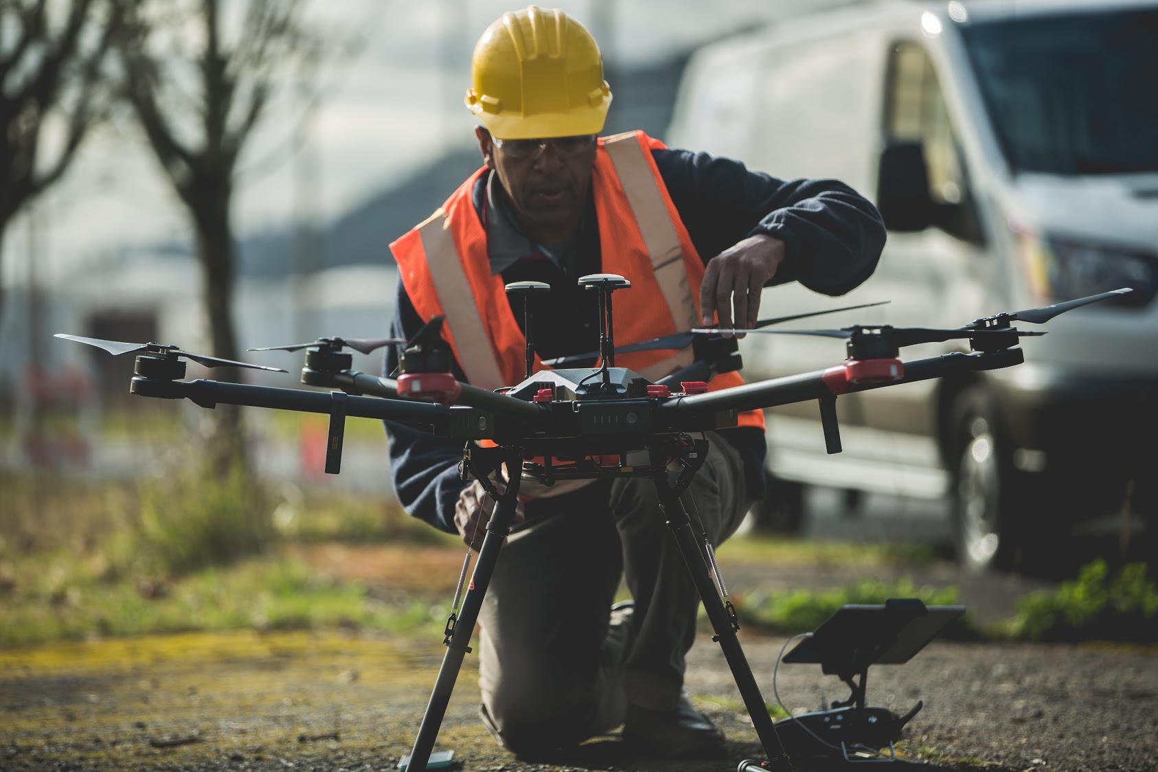
DroneLogix aerial services help gather site topography, perimeter data, and 3D models of existing structures for site planning, survey planning, and building information modeling (BIM).
We delivered high resolution orthomosaics, video, and 3D models at a significantly lower cost than incurred using traditional or manned aerial services.
Related Services
Serving clients in Dallas, Ft. Worth, Houston, Austin and San Antonio, Texas and surrounding regions.
Headquarters:
DroneLogix, LLC
1811 Meadowcove Dr
Richardson, TX 75081
Phone: 1-833-DRONES1
(1-833-376-6371)
or 214-728-9780
Email: info@dronelogix.com